Body
(Re)colonizing Tradition
A Pedestrian Guide to a "Traditional" City
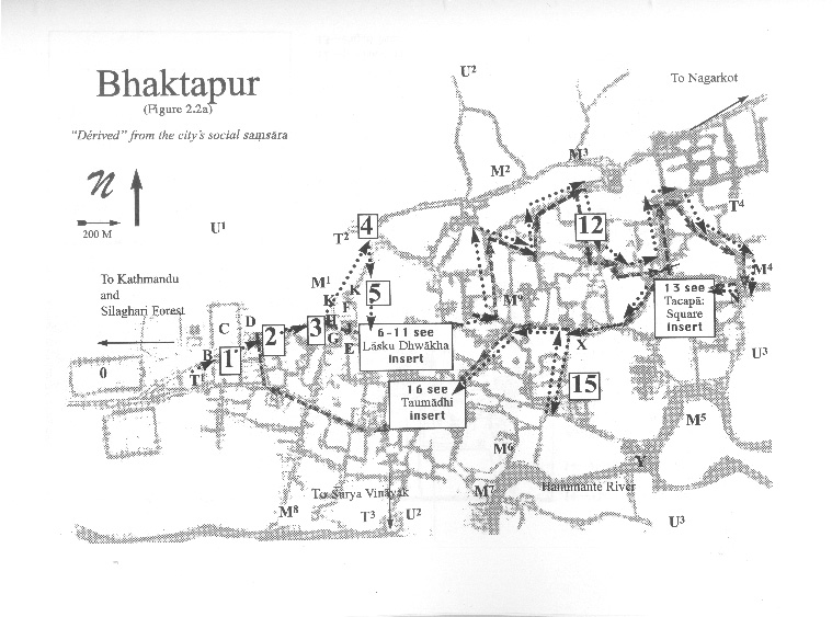
Welcome to Bhaktapur
[1] The Tea Stall at Guhepukhu
[2] Nava Durga Chitra Mandir
[3] Khauma Square
[4] Tourist Motor Park
[5] Indrani Pitha
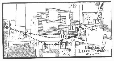
[6]Lasku Dhwakha Gate
[7]Char Dham
[8]Cafe de Temple
[9]Batsala Temple
[10] Batsala Temple
[11] City Hall
[12] The Procession Route
[13] Pujari Math
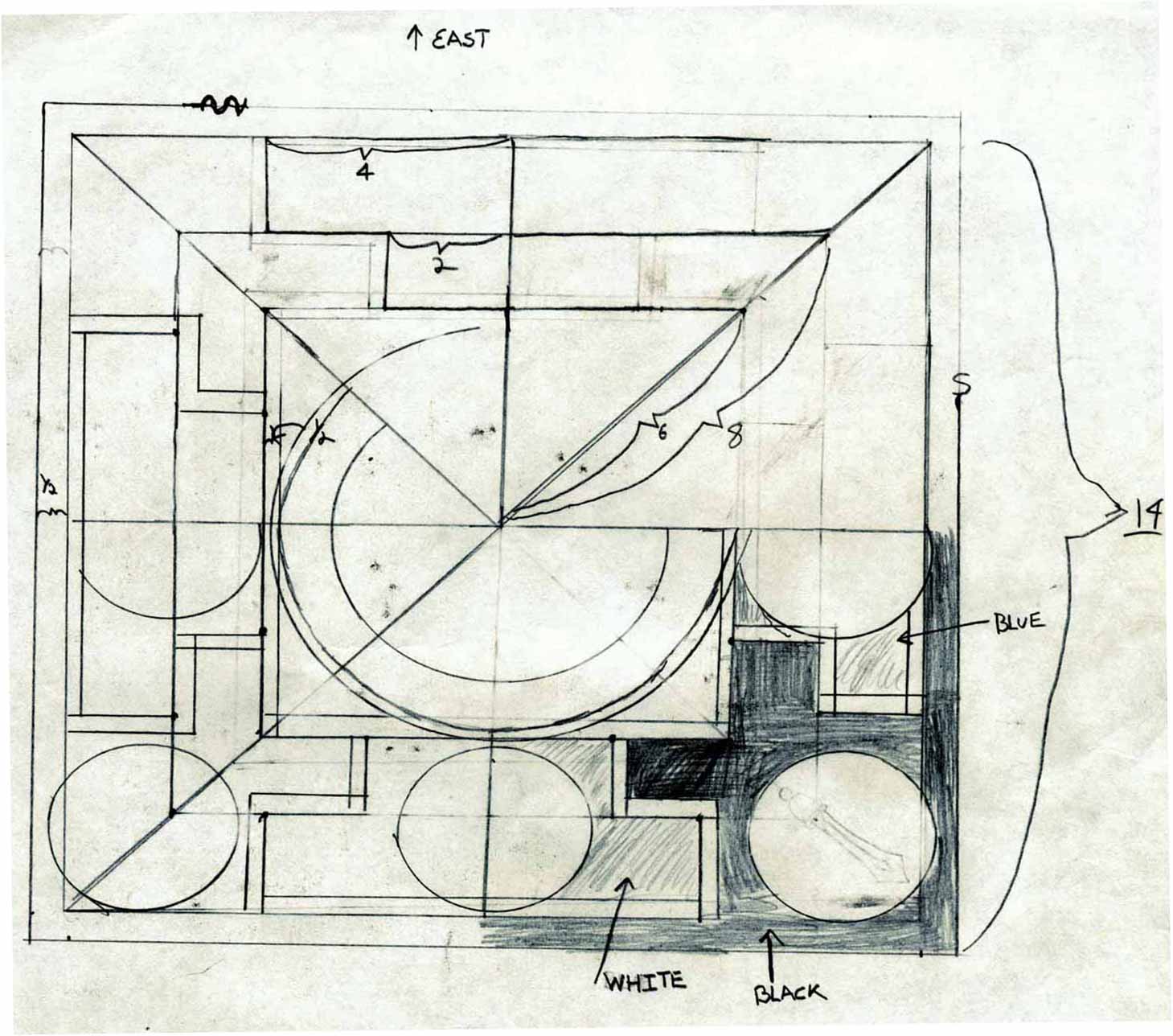
[14] The Peacock Restaurant
[15] Sewage Collection Ponds
[16] Bhairavanath Temple
|
Local Self-Governance
In Bhaktapur, since 1990 and the end of the Panchayat system, as legally sanctioned by the 1982 Decentralization Act and 1999 Local Self-Governance Act, a certain sense of "governmentality" can also be said to exist on the municipal level. In fact, led by the Nepal Works and Peasants Party (Nepal Majdur Kisan Sangh ) and Comrade Rohit (Narayan Man Bijukchhe), Bhaktapur has one of the strongest local governments in Nepal.
  
|
Maps
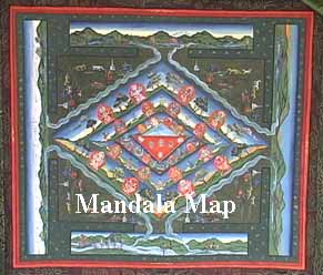
Mandala Map
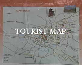
Tourist Map
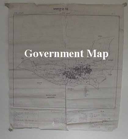
Government
Map
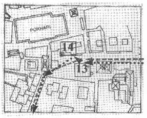
Pedestrian
Tour Map
Bhaktapur
Durbar Square
Tacapa Map
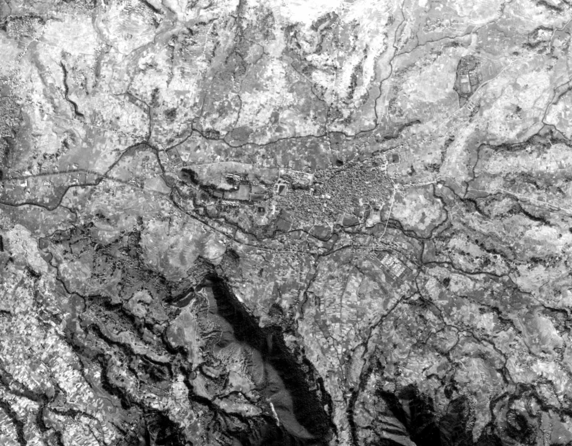
Satellite
Photograph
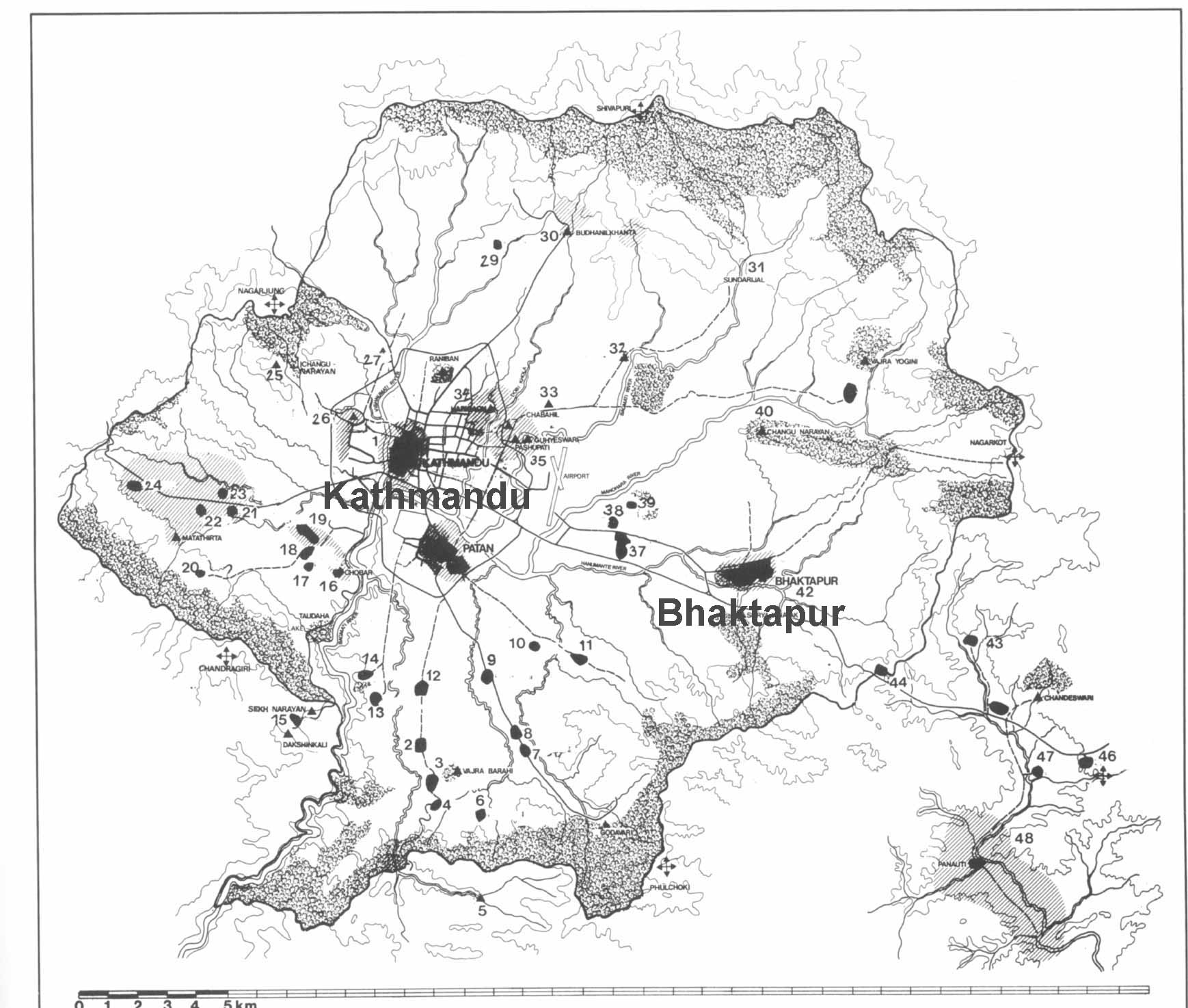
Kathmandu
Valley
Goddesses
|